
The Stuttgart Region Landscape Park
Nature and the landscape define the Stuttgart region—and make it a particularly great place to live. About three-quarters of the region’s area provides space for recreation, agriculture, and forestry, and contributes to a healthy environment in the region. This high regard is also reflected in regular surveys of residents: the great diversity and quality of nature and the landscape in the region are particularly important to many people.
The Stuttgart Region Landscape Park addresses the importance of these open spaces. It is the central tool of the Stuttgart Region Association for securing, developing, and connecting these open spaces. Together with the municipalities and other partners, green-blue infrastructure projects are being developed to strengthen nature, the climate, biodiversity, and quality of life in the region.
As a tool unique in the state, the Landscape Park offers the directly elected Regional Assembly special opportunities for shaping the region and underscores the Stuttgart Region’s special role in this area.
20 Years of the Stuttgart Region Landscape Park
Co-financing for the Stuttgart Region Landscape Park Begins
The strategic implementation of the Landscape Park begins: With the announcement of the 2005 competition and the funding of the first projects in 2006, co-financing is introduced as a central component. Since then, municipalities have been submitting project ideas annually, though these do not automatically lead to funding. A jury selects proposals from among the submissions, and the Planning Committee makes the final decision. This process results in initiatives to preserve, further develop, and ensure the multifunctional use of the region’s distinctive landscapes. Key areas of focus include the development of trails and connections, enhancing recreational opportunities and the landscape experience, revitalizing waterways and river areas, preserving the cultural landscape and regional identity, as well as initiatives in the areas of ecology, environmental education, and play, sports, and physical activity.
The Neckar Master Plan is taking shape and becoming a model
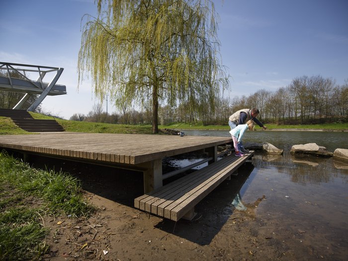
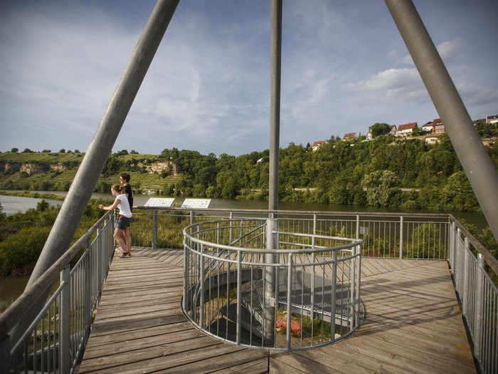
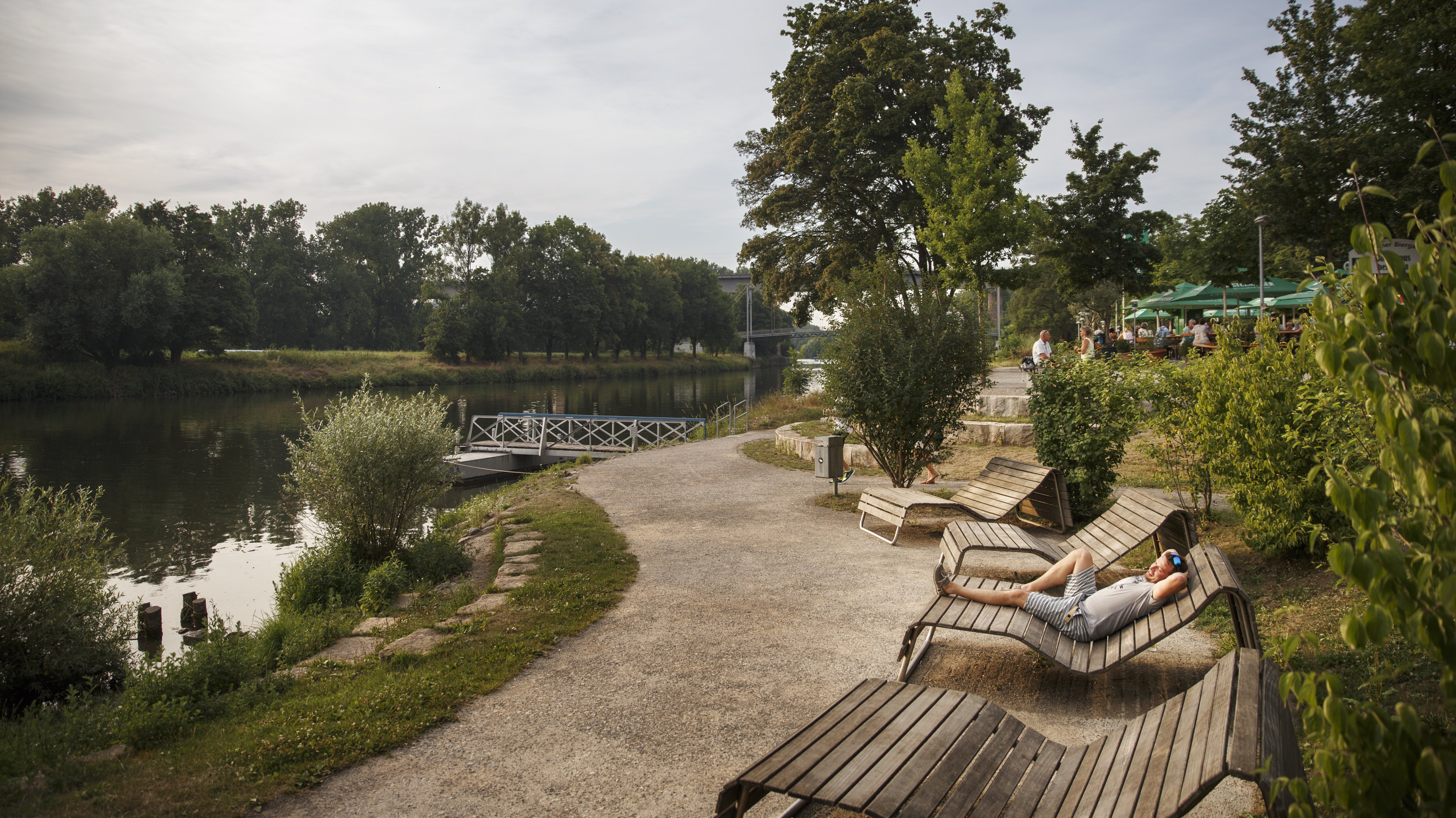
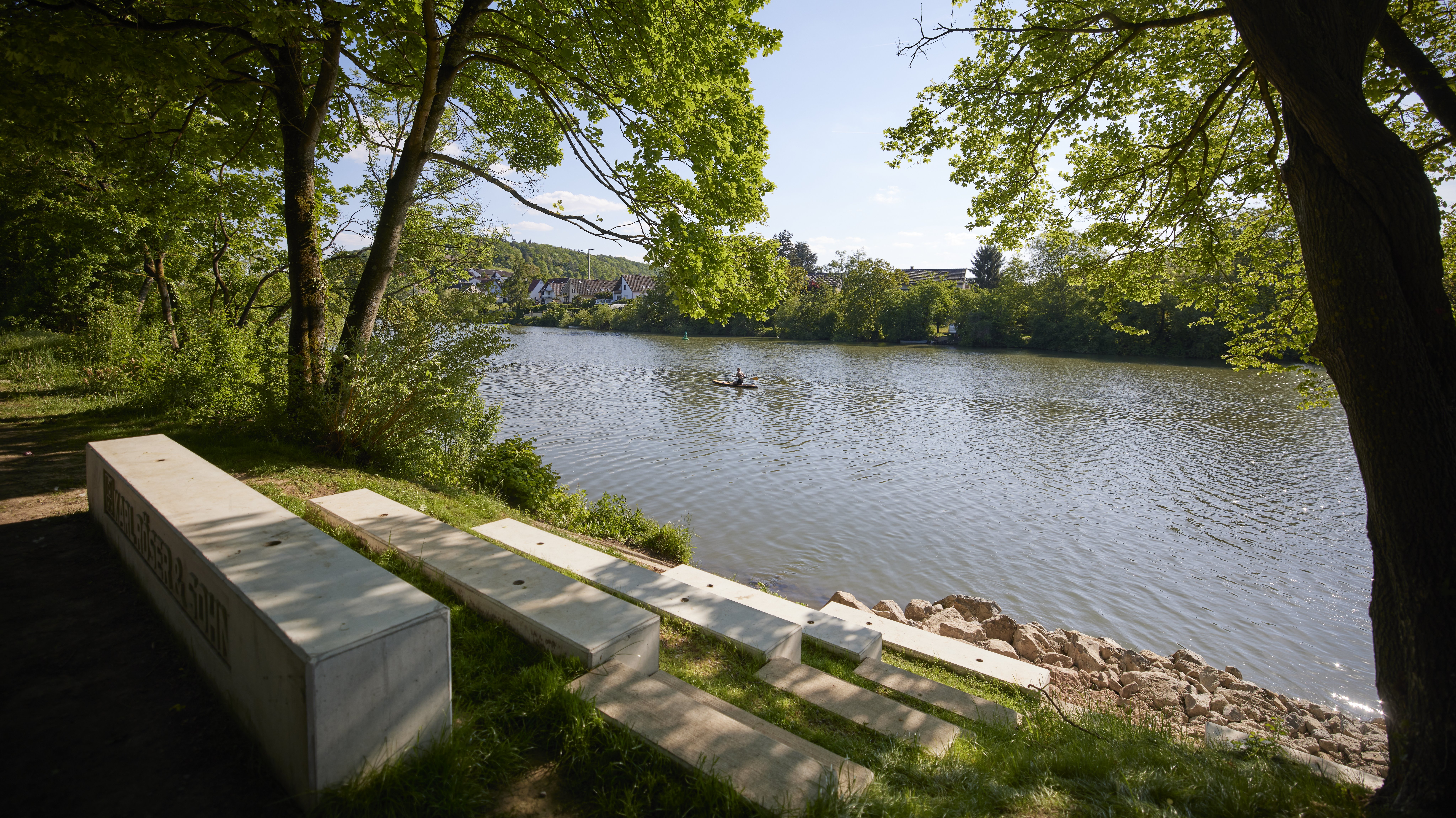
The second strategic component, alongside co-financing, consists of master plans developed in collaboration with local municipalities and stakeholders. The Neckar Master Plan serves as the first major development framework for a landscape region—27 cities and municipalities are involved, and approximately 280 project ideas have been incorporated. It defines goals for improving accessibility, quality of life, and ecological development along the river. Early on, projects such as the Zugwiesen—a renaturalized floodplain landscape with an observation tower for nature viewing— the Neckar floodplains in Marbach, featuring flat, nature-oriented riverside areas and seating terraces, as well as the conversion of an abandoned quarry in Stuttgart-Hallschlag into a public recreational space—later known as the Travertinpark—were initiated early on. The master plan demonstrates how projects can be bundled and implemented across municipal boundaries—a model for other landscape areas.
Master plans for additional landscape areas will follow
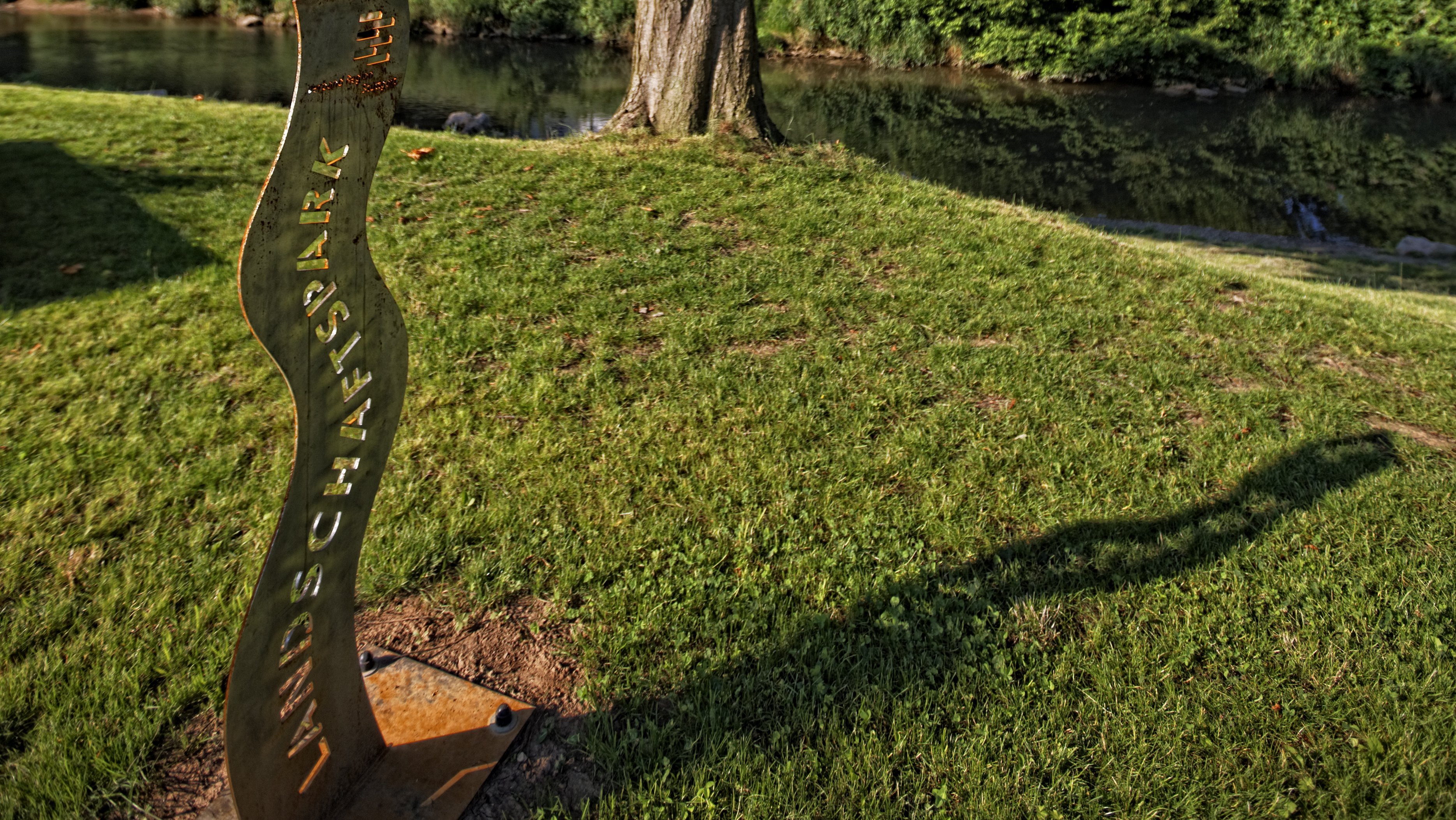
Master plans for the Rems, Limes, Fils, and Albtrauf landscape areas will be developed in quick succession. This will provide a conceptual foundation for a large part of the region. Each plan addresses the specific landscape qualities and translates them into concrete project ideas that are specifically geared toward regional connectivity and added value that extends beyond municipal boundaries. To identify co-financed projects, the association is introducing markers that highlight the funding and serve as a recognizable feature of the landscape park. At the same time, the budget for the 2008 co-financing program is being increased from 500,000 euros to 1.5 million euros.
The network of projects is growing
Co-financing is accelerating implementation: More and more individual projects are being carried out—paths, recreational areas, scenic viewpoints, and access points to bodies of water—and are linking together across municipal boundaries to form well-developed and diverse offerings for leisure and recreation. Increasingly, projects are being implemented and expanded in successive construction phases, allowing them to combine diverse functions—such as recreation, ecological enhancement, and improved accessibility—even more effectively. Examples include the further development of the Travertin Park into a place for recreation, learning, and remembrance, featuring information stations on industrial history and biotope zones, as well as the transformation of the former federal highway right-of-way into an urban recreational area in Leonberg.
Regional trails are being expanded and connected
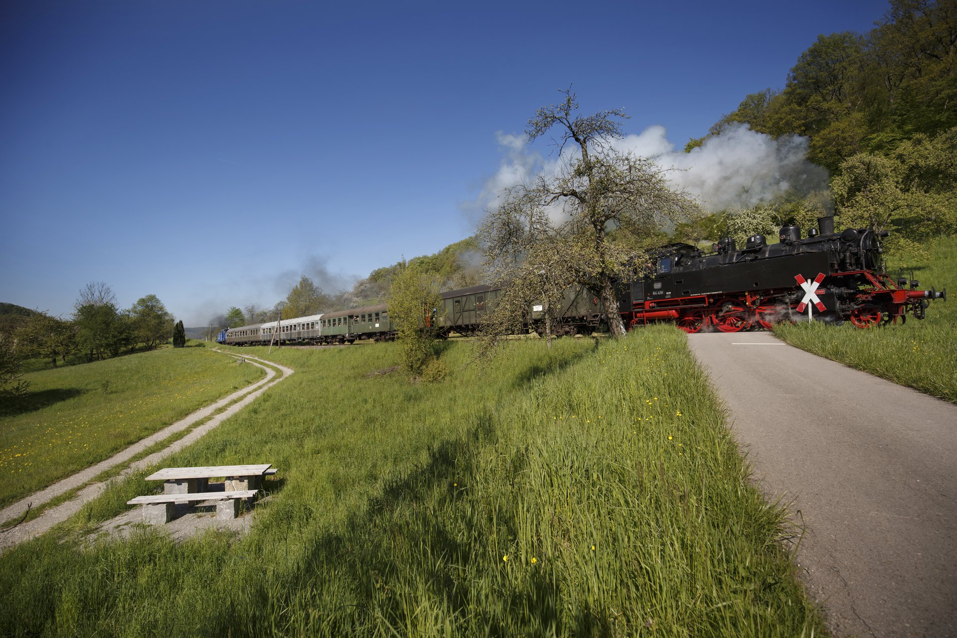
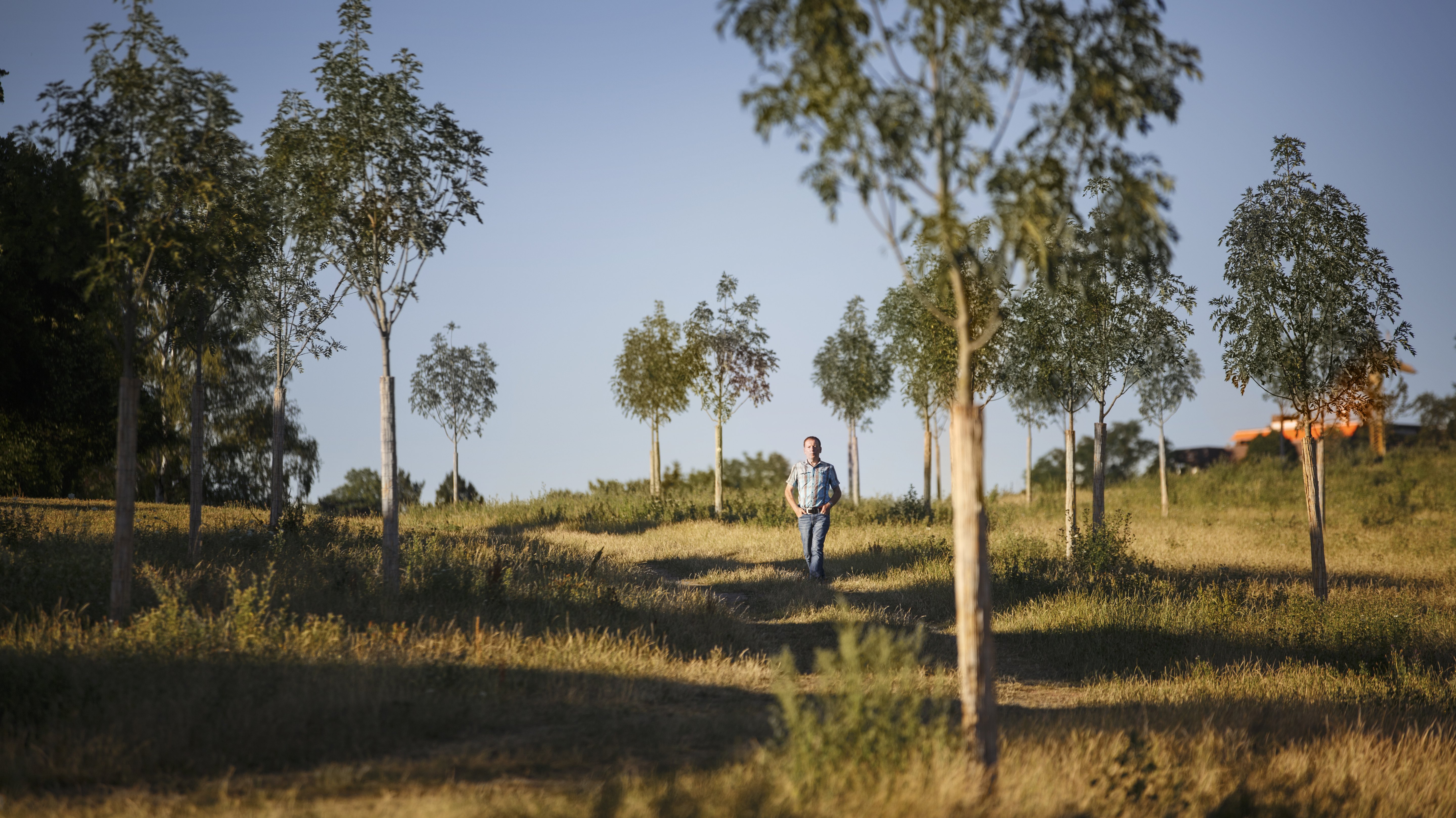
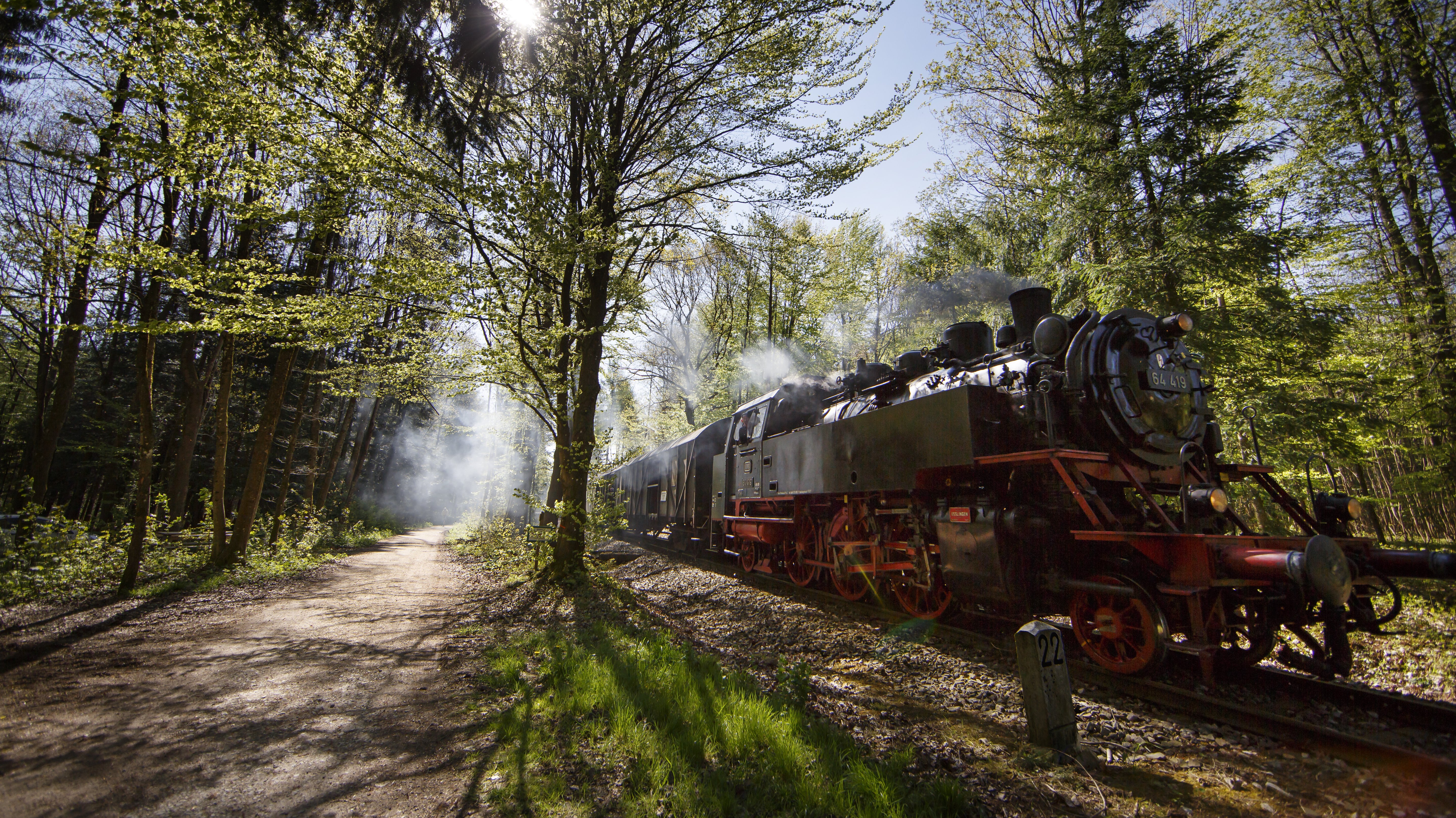
Supporting the expansion of bike and hiking trails is becoming a central pillar of the initiative. Closing gaps, creating new routes, and improving signage enhance wayfinding and connect existing trails into a cohesive network—across municipal and county boundaries. Examples include the Railway Adventure Trail along a historic railroad line through the Wieslauftal valley between Rudersberg and Welzheim, the conversion of the decommissioned Tälesbahn railway line in the Upper Filstal into a continuous walking and biking trail, the “’sÄpple” landscape trail in the Backnanger Bucht, and the signage for the Albtraufgänger trail to qualify it as a certified quality hiking trail.
Trails will continue to be upgraded and expanded to include new amenities
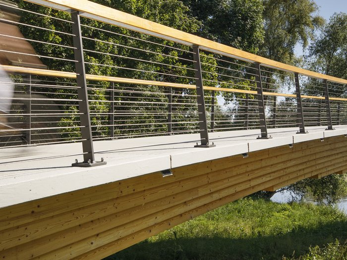
Expansion will continue, while existing trails will be specifically upgraded. This will promote new exercise and recreational opportunities, such as the bouldering facility at the SportErlebnisPark Allmersbach along the ’sÄpple’ Landscape Trail and the Gruibingen Bike Park on the Tälesbahn Bike Trail. Along the Enztal Radweg, the Enzpark in Besigheim is being redesigned—with a new route along the river, a bridge, and rest areas on the banks. At the same time, the Industrial Heritage Trail in the Filstal is being further developed. A standardized intermunicipal signage system is being expanded and supplemented with information points and rest areas at key sites of industrial history.
10th Anniversary Highlights the Ambition and Scope of the Landscape Park Program
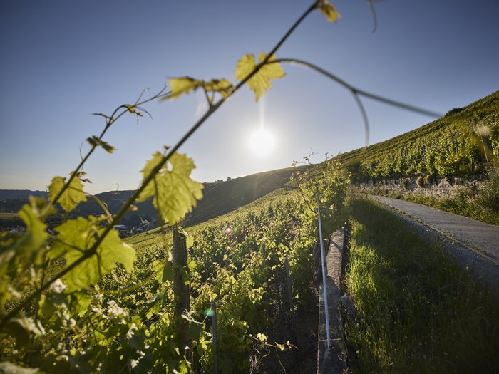
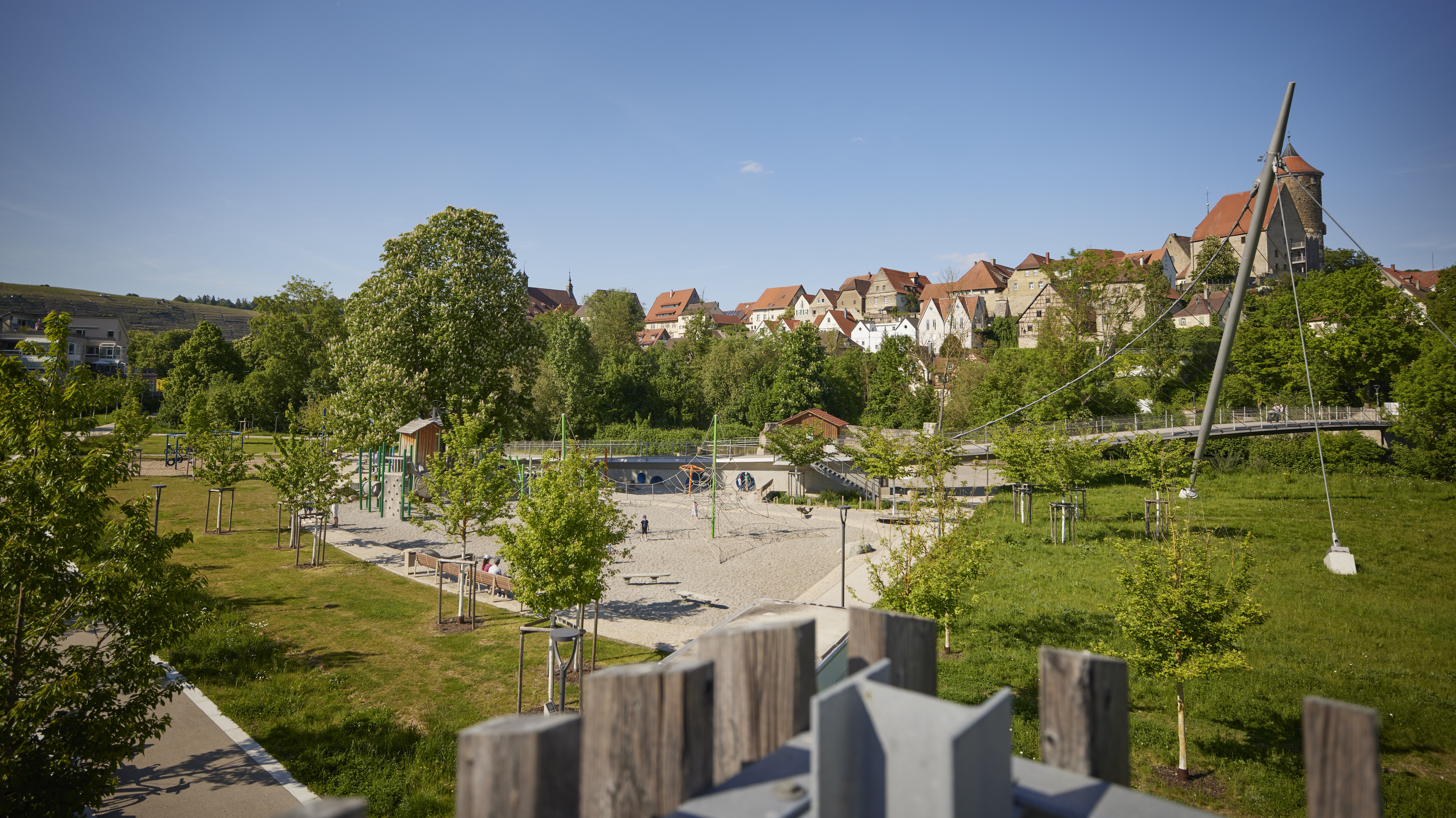
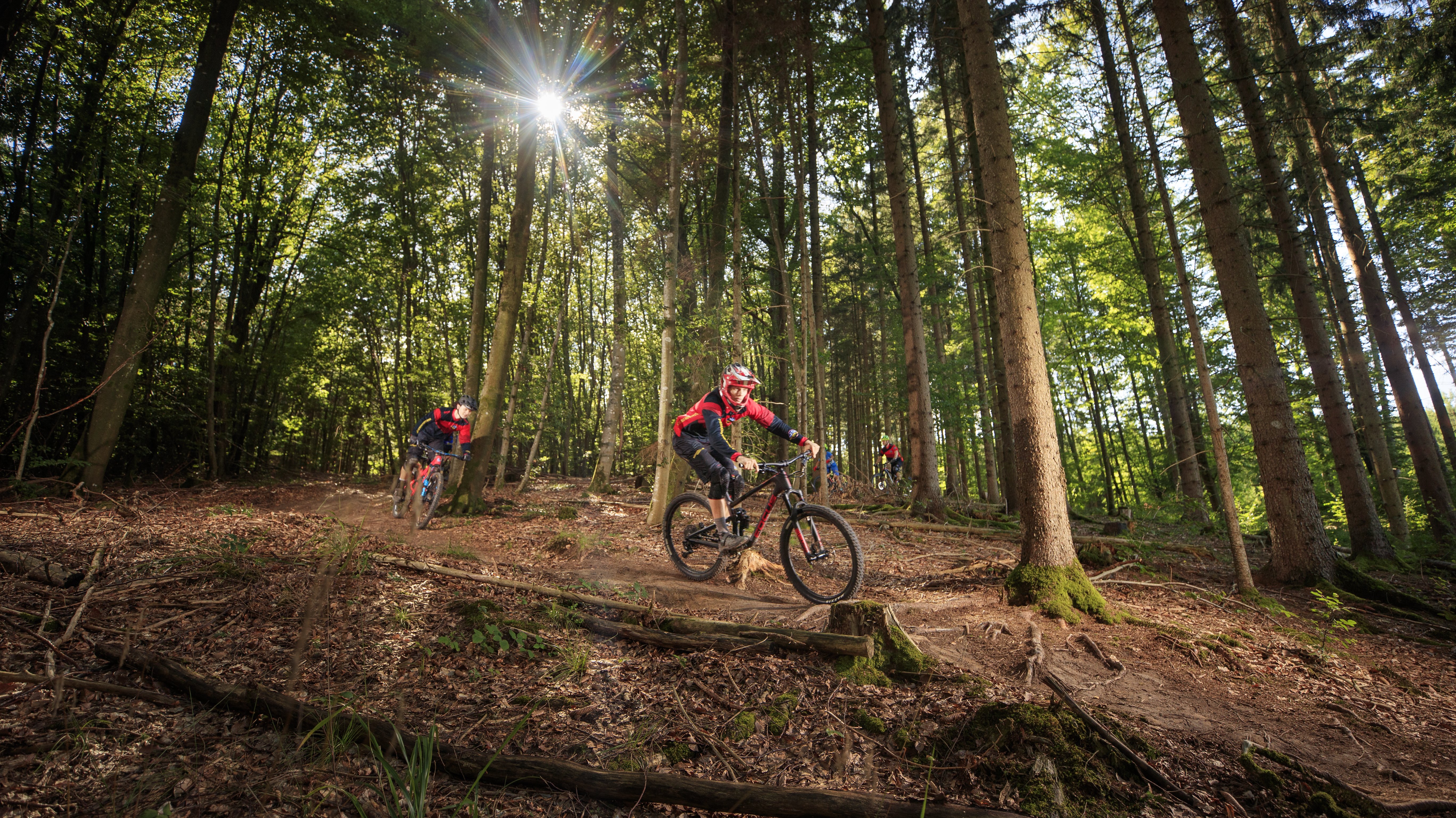
In 2016, the Landscape Park will celebrate its 10th anniversary—with around 160 projects. By then, regional funding of 15 million euros will have triggered total investments of approximately 50 million euros, including EU funds. The projects selected for the follow-up period offer a cross-section of key Landscape Park themes: The Wine and Fruit Discovery Trail between Bietigheim and Besigheim connects steep slopes and orchard areas via themed routes. In Ditzingen, initiatives along the Glems floodplains combine ecological restoration, recreational areas, and access to the water directly adjacent to the city center and the Glemstal bike path. A flow trail in Urbach offers sports and exercise in the forest.
Remstal Garden Show Implements a Model Unique in Germany
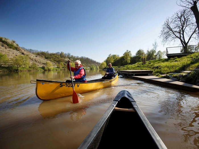
Through the Remstal Garden Show, 16 municipalities in the Remstal are jointly developing a cohesive landscape. The Rems Master Plan provides key impetus. The project is defined by 16 architectural stations, including landmarks such as the “Turm an der Birke” station in Urbach, which accentuate the landscape and symbolically connect the municipalities. At the same time, they highlight site-specific themes and characteristics in the open spaces. Sustainable projects—connecting routes such as the Remstal Bike Path, viewing points and recreational areas like the “Rems(tal)blicke,” and the canoe route—as well as the intensive collaboration among the municipalities continue to shape the Remstal to this day. An additional funding pool of over two million euros enables the coordinated implementation of these measures.

Master Plan Series Is Being Finalized – the Neckar River Takes Center Stage
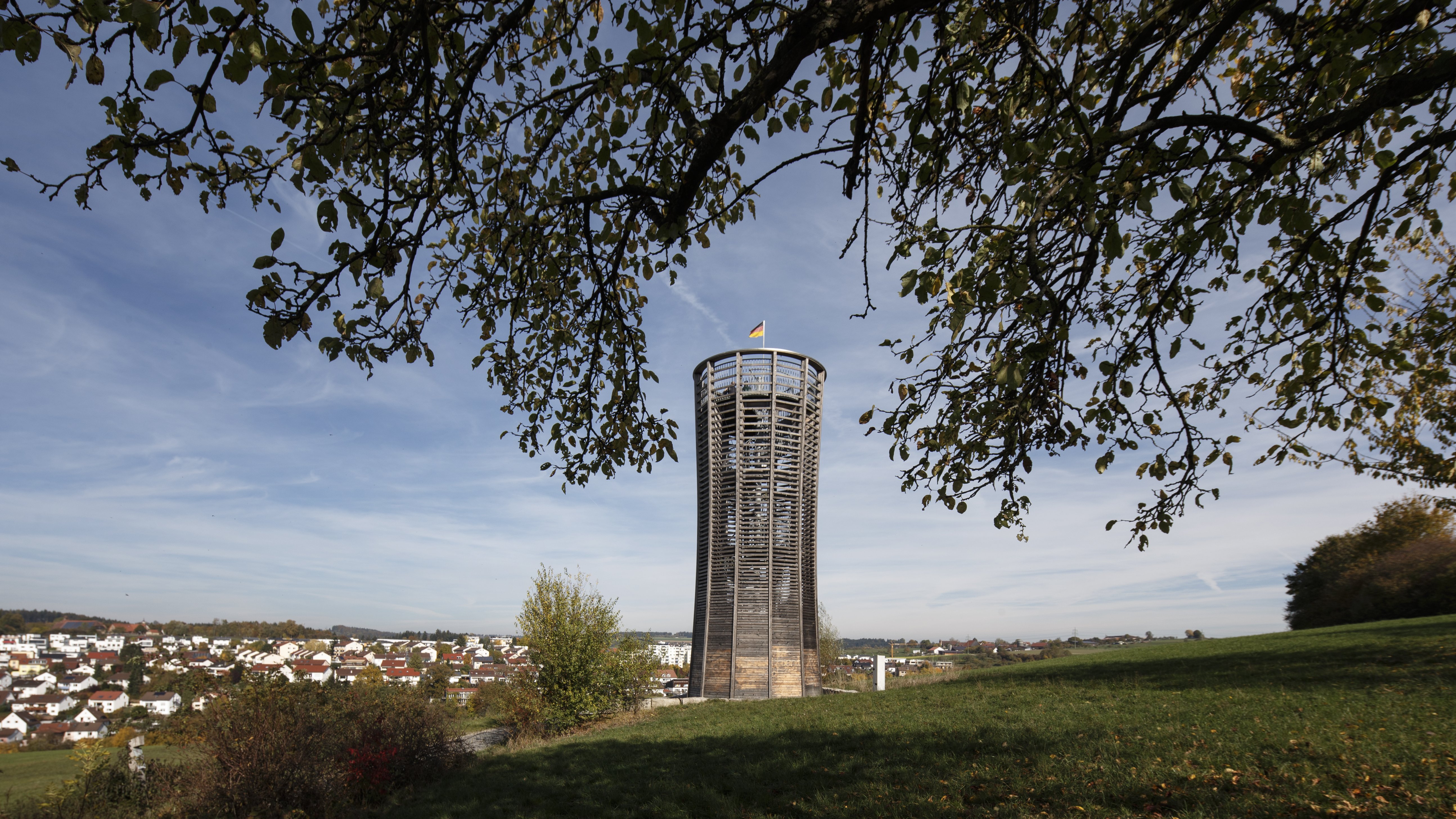
With the development of the Schönbuch area, a largely complete conceptual framework for the region’s landscape and recreational areas is now in place, from which “landmark” projects such as the Schönbuch Tower have already been realized. The existing master plans and the projects already implemented thus form the basis for the further development of the landscape park. Building on this, the “Adressen am Fluss” project, in collaboration with IBA’27, is testing new approaches to better connect cities and rivers and create specific waterfront locations that offer a high quality of life. Various competition formats support the development of creative ideas and concepts for a “river region.” In Mundelsheim, the first building block of this vision has already been implemented with the new playground and recreational area along the Neckar.
Local Recreation Plan Systematically Gathers Residents’ Input and Evaluates Its Implementation
With the Local Recreation Concept, the Stuttgart Region Association is systematically advancing the development of the Landscape Park based on the master plans. The core of this effort is a broad-based public participation process that yielded approximately 800 suggestions and project ideas, as well as over 5,500 views of a digital participation map. The results are translated into eight specific areas of action—including a recreational trail network, recreational areas near residential areas, and water bodies—and supported by concrete measures and pilot projects. The Landscape Park is thus being expanded to include a new dimension: the needs of the public are systematically recorded, areas of action are identified based on these needs, and suitable projects are evaluated.