
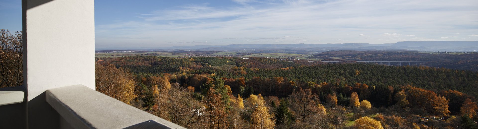
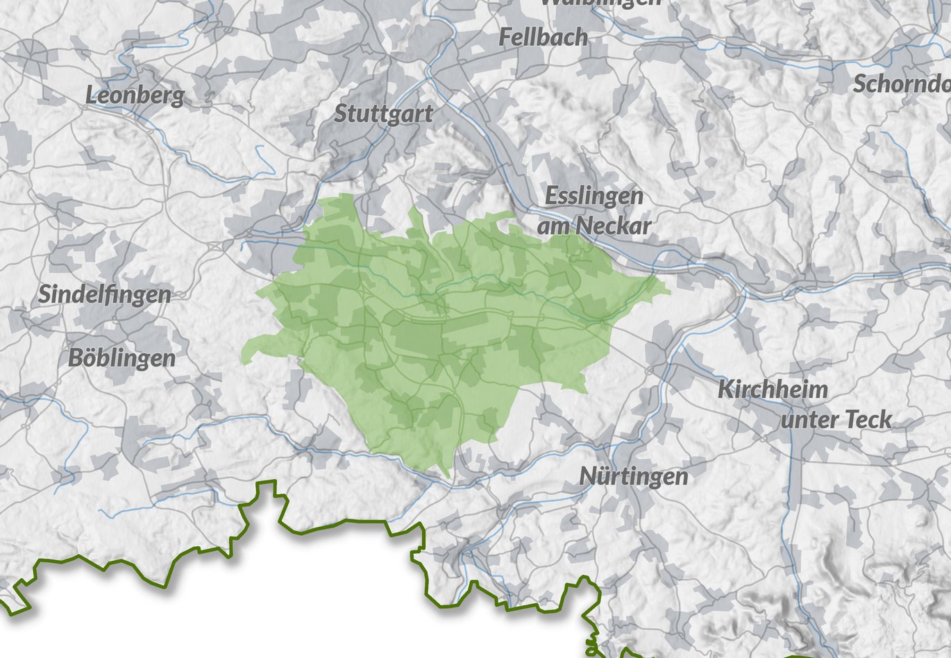
The Filder plateau is characterized by fertile fields and orchards, extensive forest areas on the edges and the incised Körschtal valley as a central green belt, but also by extremely dynamic settlement and traffic development. Hotspots are the airport located there, the neighboring state trade fair, numerous important business locations as well as several universities and research institutions.
The high settlement pressure, heavy traffic loads and nature conservation, agricultural and forestry requirements lead to considerable conflicts of use and competition for land.
In 1997, the Schmelzer and Janson + Wolfrum consortium from Ostfildern and Stuttgart drew up an initial concept for the cross-regional development of landscape and nature on the Filder plain. In 2011, the Filder municipal working group awarded the contract for a framework plan to Planstatt Senner from Überlingen and Jung:Kommunikation GmbH from Stuttgart. It was presented in the fall of 2012.
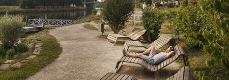
The concept and the project ideas developed follow the guiding principle of Networked Landscape - Networked Citizens. Connecting the landscape refers to the spatial linking of forests, orchards, agricultural fields, watercourses and villages through the development of an attractive network of paths that integrates existing landscape and architectural features. The networking of citizens aims to create a sense of community through identity-building measures.
If you are interested in the master plans for download or as a print product, please contact the Verband Region Stuttgart using the contact form.
Back to overview Master plans