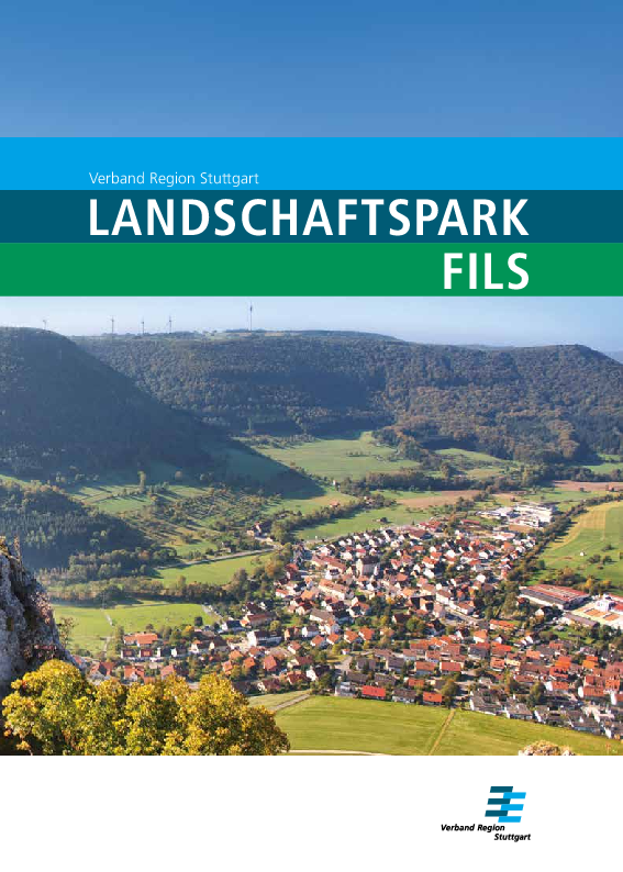
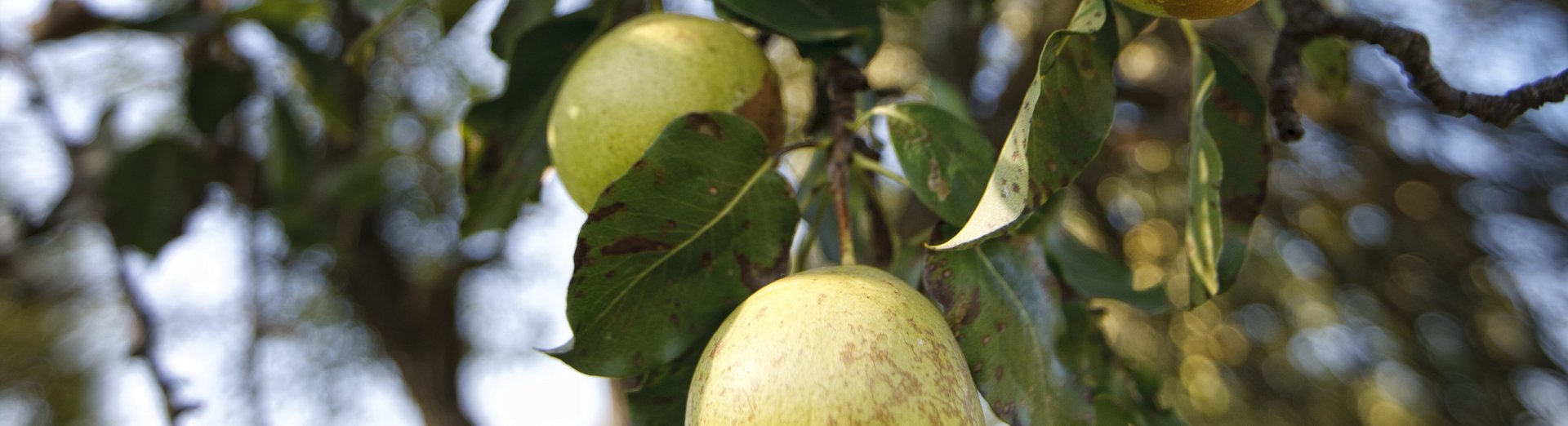
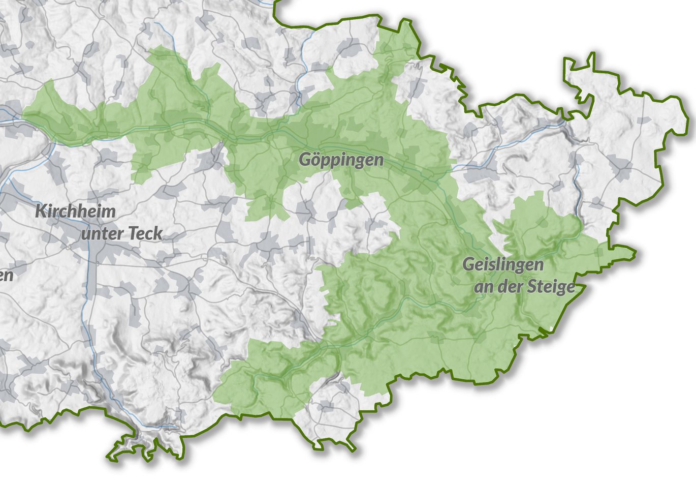
The Fils crosses the eastern part of the region on its way to the Neckar. With the onset of industrialization, the previously natural Fils became a sought-after location for the textile and metal industry, especially in the middle and lower reaches, and was straightened, canalized and obstructed in many places. The busy B10 federal highway, which runs parallel in some places, as well as the railroad tracks affect the areas close to the banks and form a spatial barrier in the valley. This contrasts with the idyllic Upper Fils Valley with its numerous nature reserves and rich biotope and species diversity. It is characterized by juniper heaths, beech forests and steeply rising rock faces.
In 2008, on the initiative of the town of Göppingen, an inter-municipal interest in a comprehensive open space development concept was formed. Initial measures to renaturalize the river and make it accessible were already underway at this time thanks to successful project applications for co-financing. The master plan was drawn up between 2009 and 2011 by Planstatt Senner from Überlingen and Stuttgart, as had already been the case for the Rems and Neckar landscape parks.
The master plan defines five fields of action - ecology of the river, upgrading of the towns and municipalities, spatial networking of the settlement and landscape areas, protection of the existing landscape areas and joint action.
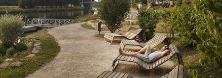
The aim is to restore the course of the river from its source to its mouth, which has been heavily impacted by industry in some sections, to make it an attractive living and recreational space for nature and people, to make it accessible again and to create a continuous network of cycling and hiking trails. This also includes an examination of the architectural heritage and traces of industrialization.
One inter-municipal project initiated by the master plan was the Route of Industrial Heritage. Together with the 16 municipalities along the Fils, the association created a concept between 2012 and 2015 with funds from the European INTERREG IVB programme Value+ to make the history and evidence of industrialization in the Fils Valley tangible through a uniform information system and then implemented it.
If you are interested in the master plans for download or as a print product, please contact the Verband Region Stuttgart using the contact form.
Back to overview Master plans